Generate Full Color 3D Heightmap Models From Images
Date: March 23, 2022
The ability to create 3D models from color heightmaps has been added to the main Heightmap Tool, the new mode, will work with 3D formats that support colored geometry (like 3MF) and also those that do not (such as the standard STL format).
Color Conversion
This option controls how the color in the uploaded image is converted into height data in the final model. The default option is Grayscale is the original setting that bases the height value on the brightness of the pixel. The two new modes, Color Height Map and Full Spectrum Height Map can be used to interpret most standard color heightmap formats available.
Even if the 3D format you are converting your image to does not support color, the heightmap data can still be used to create an accurate model.
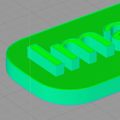
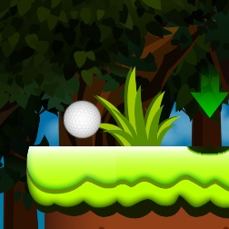
An Example Color Heightmap
When the tool mode is set to Color Heightmap the resulting file will contain the color information from the uploaded image. If you wish to supply a different image containing color information, you can use the Upload Color Overlay file upload option.
The example below shows a 2D PNG color heightmap image on the left and a partial screenshot of the generated 3D model on the right.


Add a Comment
No Comments
Be the first to comment on this article.